A roof without a zone map is a roof that has to be re-described from scratch every time someone walks it. We produce annotated zone diagrams that make every inspection, every maintenance action, and every capital conversation faster and more accurate.
Every commercial roof inspection, maintenance record, and capital discussion is easier when everyone is looking at the same map. Without a zone map, the facility manager's 'northwest corner by the big HVAC unit' is a different location than the contractor's 'the corner by the stairwell penthouse' — and both are different from what the building drawings show. Communication errors in roof work cost money: wrong materials mobilized, wrong area demoed, wrong repair scope bid. Zone mapping eliminates the reference problem.
We produce zone maps on every building we inspect as a standard part of our condition report deliverable. For buildings we take on for asset management, the zone map is the master reference document — every inspection, every repair, and every capital action is keyed to the same zone diagram so that five years of records can be read on a single page. For buildings going through a capital event — recover, replacement, or major repair — the zone map is the production document that the crew works from.
Our zone maps are produced from field measurements, scaled to the building, and annotated with every item relevant to roof operations: drain locations and drain types, penetration inventory, equipment curb locations, parapet material and height, access hatch locations, skylights, expansion joints, and any areas of historical repair or chronic maintenance. The annotation is sufficient for a project manager who has never been on the roof to understand the layout before mobilization.
What the Zone Map Contains
The base plan is a scaled plan-view drawing of the roof showing the roof perimeter, parapet runs, and any interior parapet or wall lines that divide the roof into distinct drainage areas. Scale is noted on the diagram. For multi-section roofs — common on Omaha's older Downtown commercial buildings where additions were built against original structures — each section is drawn at the same scale with section boundaries clearly marked.
Drain inventory: every drain shown in plan position, labeled with a drain identifier (D1, D2, etc.), drain type (interior, scupper, overflow scupper), drain size, and current condition notation from the most recent inspection. Drain identifiers are consistent across all inspection reports and maintenance records for the building.
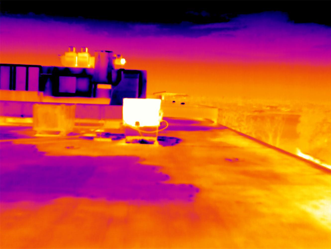
Penetration inventory: every rooftop penetration shown in approximate plan position with an identifier and a type label (HVAC curb, pipe, conduit, vent, skylight, pitch pocket). For buildings with complex mechanical arrays — the UNMC campus, large distribution centers with extensive mechanical rooftop equipment — the penetration inventory is a numbered table keyed to the diagram.
Zone boundaries: the roof is divided into zones based on drainage area, inspection access, and construction section. Zones are labeled (Zone A, Zone B, etc.) and each zone is a consistent reference for all subsequent inspections and maintenance records. 'Zone B had three active flashing repairs in 2022-2024' is a meaningful statement when Zone B is the same area every time anyone refers to it.
Photo key index: each inspection adds a photo key notation to the zone map — photograph numbers keyed to the location where each photo was taken. The zone map becomes the master photo index across multiple inspection cycles.
Zone Maps for Specific Building Types in Omaha
Large industrial and distribution buildings: North Omaha industrial buildings near Eppley Airfield and the West Omaha I-680 distribution parks often run 50,000-200,000 sq ft of uninterrupted flat roof. Zone maps for these buildings divide the roof into sections based on drainage areas — each drain's tributary area is a zone — with sub-zones at the perimeter and at any internal parapet or curb line. Without zone division, a 150,000 sq ft flat roof has no useful reference geometry for communication.
Multi-building corporate campuses: The Mutual of Omaha Dodge campus, Werner Enterprises' headquarters complex, and the Nebraska Medicine campus involve multiple buildings with inter-connected roof levels, parapets of varying heights, and rooftop mechanical corridors that cross building boundaries. We produce campus-level overview maps showing all buildings and their relative positions, plus building-level zone maps for each structure. The campus-level map shows the inter-building relationships (shared parapets, connected roof levels) that affect drainage planning and capital sequencing.
Downtown historic commercial buildings: Downtown Omaha's older commercial inventory — the masonry warehouse buildings in the Old Market district and along Farnam and Harney Streets — often has complex roof geometry from historic additions, parapet variations, and multiple roof sections at different elevations. We field-measure these buildings and produce hand-scaled zone diagrams when the physical geometry does not match any available building drawings.
Zone Maps as Maintenance Records
The zone map's ongoing value is as the master reference for all maintenance activity. When we perform a drain cleaning service, we note which drains were cleaned (by drain identifier) and their condition before and after. When we repair a flashing, we note the zone and the specific location within the zone. When we pull moisture cores, we note the core location by zone and show the core hole on the diagram. Every action is traceable to a specific location on a specific date.
This creates a building history that is readable five or ten years later without any interpretation. 'Zone C, Drain D4, cleaned and strainer replaced, September 2022' is a complete record. 'Northwest corner, drain by the big unit, cleaned sometime a few years ago' is not. When a new facility manager comes on board, when the building is sold, or when a manufacturer warranty claim requires documentation of maintenance history, the zone-keyed maintenance record is the difference between a defensible record and a reconstruction attempt.
Frequently asked questions
Do I need to provide building drawings for the zone map?
No — though we will use them if you have them. Most of our zone maps are produced from field measurements taken during the inspection walk. We measure the roof perimeter, internal parapet lines, and equipment layouts with a measuring wheel and laser distance meter. For older Downtown Omaha buildings where the physical conditions have diverged significantly from any drawings on record, field measurement is more reliable than scaling from drawings anyway.
What format does the zone map come in?
The zone map is delivered as a PDF in the inspection report — a scaled, labeled plan view with all annotations. We retain the working file and can update it after each inspection or maintenance action. For portfolio clients, we maintain a current zone map for every building in the portfolio and can provide updated versions on request at any time.
Can the zone map be used by other contractors working on the roof?
Yes. The zone map is yours. We produce it as a working document for your building operations, not as a proprietary tool. If another contractor — HVAC, solar, communications — is planning work on the roof, you can share the zone map with them so their penetration location and work area references match the document everyone else on the building uses. We ask to be notified of any work that affects the roof assembly so we can update the penetration inventory and flag any manufacturer warranty notification requirement.
How long does it take to produce a zone map?
For a typical Omaha commercial building, the field measurement and annotation are completed during the inspection walk. The formatted zone map is part of the inspection report, delivered within five business days. For large or complex buildings — multi-building campuses or buildings with irregular geometry — we may add a half-day for the field measurement separately from the inspection walk.
Ready to give your Omaha building a documented roof zone map?
We produce the zone diagram during the inspection, annotate it with the full drain and penetration inventory, and deliver it as the master reference document for all future maintenance and capital work.
Ready to talk through a roof?
Tell us about the building and the roof problem. We'll document it and put a plan in writing — with an honest repair-vs-replace recommendation and no upsell pressure.